Algeria
World Rank: #10
2,381,741 km²

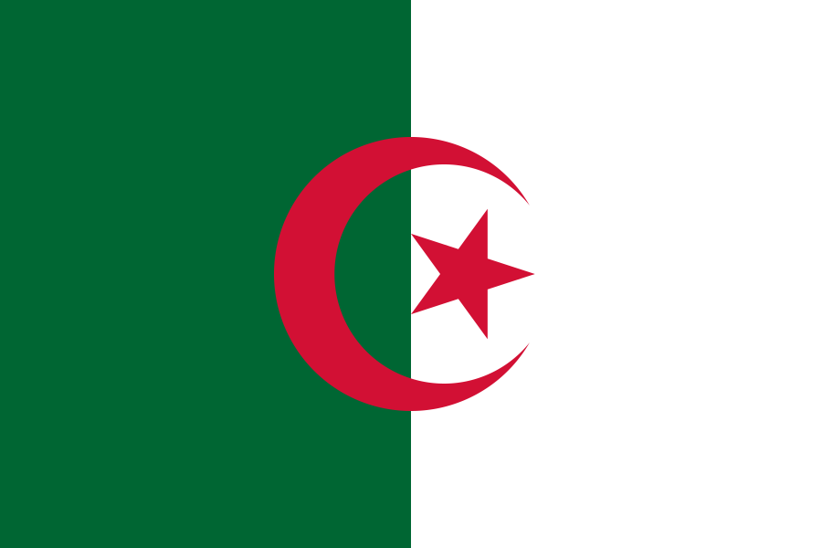


Algeria: Africa’s Largest Nation and the Desert Giant
Algeria ranks as the tenth-largest country in the world with a vast territory of 2,381,741 square kilometers (919,595 square miles). More notably, it holds the distinction of being Africa’s largest country by land area since South Sudan’s independence from Sudan in 2011. Despite this impressive size, Algeria often receives less attention than other large nations in global size discussions.
What makes Algeria particularly remarkable is that over 80% of its territory is occupied by the Sahara Desert. This makes Algeria not only Africa’s largest country but also one of the world’s largest desert nations. To put its size in perspective, Algeria is nearly three times larger than Texas, about the same size as Greenland (without the map distortion), and larger than all of Western Europe combined.
Located between 19° and 38° North latitude, Algeria experiences relatively little distortion on standard Mercator projection maps. What you see on most world maps is a reasonably accurate representation of Algeria’s true size and shape, though its northern position in Africa means it experiences slightly more distortion than equatorial African nations.
Let’s explore how Algeria’s true size compares to other major countries and regions, and what makes this North African giant geographically unique.
Watch Algeria expands to its size as we move it away the equator. We compare it to the USA, Europe, Africa, Greenland, Brazil, Australia, India, China, etc. You can use this country size comparison interactive map here.
Algeria’s True Size in Global Perspective
To better understand Algeria’s dimensions, direct comparisons with other countries and regions provide valuable context:

Algeria vs. Western Europe: Algeria could contain France, Germany, Italy, United Kingdom, and Spain combined
| Comparison | Area (km²) | Size Relative to Algeria |
|---|---|---|
| Algeria | 2,381,741 | 1.0 |
| Greenland | 2,166,086 | 0.91 times Algeria’s size |
| Western Europe (France, Germany, UK, Italy, Spain combined) | ~1,800,000 | ~0.75 times Algeria’s size |
| Mexico | 1,964,375 | 0.82 times Algeria’s size |
| Texas (US state) | 695,662 | 0.29 times Algeria’s size |
4 Surprising Algeria Size Comparisons
- Algeria vs. United States: Algeria is approximately 25% the size of the entire United States, but if placed over the eastern US, it would stretch from New York to Florida and westward to Arkansas.

- Algeria vs. Western Europe: Algeria could contain France, Germany, United Kingdom, Italy, and Spain combined – essentially most of Western Europe.
- Algeria vs. Greenland: Despite Greenland appearing much larger on most maps due to Mercator distortion, Algeria is actually about 10% larger than Greenland.

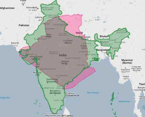
- Algeria vs. India: Algeria is about 72% the size of India, though India has over 30 times Algeria’s population.
The Saharan Expanse: Algeria’s Desert Dominion
The Sahara Desert defines most of Algeria’s territory:
- The Algerian Sahara covers approximately 2 million square kilometers, about 84% of the country’s total area
- If the Algerian Sahara were an independent country, it would be the 11th largest in the world, larger than Mexico
- This region contains some of the world’s most extreme desert environments, including the Grand Erg Oriental and Grand Erg Occidental – vast “sand seas” of dunes
- The Ahaggar Mountains (or Hoggar Mountains) rise dramatically from the desert, reaching heights of over 2,900 meters (9,500 feet)
- Despite its harsh climate, the Algerian Sahara contains significant natural resources, particularly oil and natural gas deposits
The Tell and High Plateaus: Algeria’s Populated North
Algeria’s northern regions contain the vast majority of its population:
- The Tell region, a narrow coastal strip along the Mediterranean, covers less than 5% of Algeria’s territory but contains over 65% of its population
- The High Plateaus, a series of steppes and plains south of the Tell, form a transition zone between the Mediterranean north and the Sahara
- The Atlas Mountains run through northern Algeria, with the Tell Atlas near the coast and the Saharan Atlas farther south
- Algeria’s Mediterranean coastline stretches for 1,600 kilometers (998 miles), providing important access to maritime trade
- This geographic concentration creates a stark population density contrast: over 100 people per square kilometer in parts of the north versus less than 1 person per square kilometer in much of the south
Population vs. Territory: The Northern Concentration
Algeria’s population distribution creates remarkable patterns across its vast territory:
- With approximately 44 million people, Algeria has a population density of about 18 people per square kilometer
- However, this figure is misleading due to extreme concentration: about 90% of Algerians live in the northern 12% of the country
- Algeria is one of the most urbanized countries in Africa, with about 74% of its population living in urban areas
- The three largest cities (Algiers, Oran, and Constantine) and their surrounding areas contain roughly 40% of Algeria’s total population
- Many regions in the Algerian Sahara have population densities below 0.5 people per square kilometer, making them some of the most sparsely populated areas on Earth
Algeria’s Provinces: Wide Variations in Size
Algeria’s 58 provinces (wilayas) show dramatic differences in size and population:
| Algerian Province | Area (km²) | Comparable Country/Territory |
|---|---|---|
| Tamanrasset | 556,200 | France (551,695 km²) |
| Adrar | 427,368 | Iraq (438,317 km²) |
| Illizi | 284,618 | Ecuador (276,841 km²) |
| Tindouf | 159,000 | Tunisia (163,610 km²) |
| Algiers (smallest province) | 273 | Malta (316 km²) |
Geographic Challenges: Climate and Water
Algeria’s geography creates significant environmental challenges:
- Water scarcity is Algeria’s primary geographic challenge, with 96% of the country receiving less than 400mm of rainfall annually
- The country has few permanent rivers, with most watercourses (wadis) flowing only seasonally
- Desertification threatens parts of the High Plateaus, gradually pushing the Sahara’s boundary northward
- The concentrated population along the narrow coastal strip creates development pressures on limited arable land
- Climate change is expected to exacerbate these challenges, with projections of decreased rainfall and increased temperatures across most of Algeria
Natural Resources: Hidden Wealth Beneath the Desert
Algeria’s vast territory contains substantial natural resources:
- Algeria has the 16th largest proven oil reserves in the world and is Africa’s third-largest oil producer
- The country ranks 10th globally in natural gas reserves and is a major exporter to Europe via pipelines across the Mediterranean
- Most hydrocarbon resources are located in the eastern and southeastern Sahara, particularly around Hassi Messaoud and Hassi R’Mel
- The Sahara also contains other mineral resources, including iron, phosphates, uranium, lead, and zinc
- Algeria has enormous potential for solar energy production, with some of the highest levels of solar radiation in the world
The Mediterranean Gateway: Algeria’s Northern Coast
Despite being predominantly desert, Algeria’s Mediterranean coastline plays a crucial role in its geography:
- Algeria’s 1,600-kilometer Mediterranean coastline has historically connected it to European, Middle Eastern, and broader Mediterranean civilizations
- The coast features numerous natural harbors, including those at Algiers, Oran, Annaba, and Béjaïa
- Most of Algeria’s major cities developed along this coast, including the capital Algiers
- The coastal region receives sufficient rainfall to support agriculture, with the Tell Atlas mountains trapping moisture from Mediterranean weather systems
- This narrow fertile strip, sandwiched between mountains and sea, creates a stark contrast to the vast desert that makes up most of Algeria
Explore More Size Comparisons
Curious about how other major countries and continents compare in true size? Check out these related articles:
- The True Size of Democratic Republic of Congo: Africa’s Second-Largest Country
- The Real Size of Kazakhstan: The Overlooked Giant of Central Asia
- The Real Size of Greenland: Not As Big As You Think
- The True Size of Africa: A Continent Vastly Larger Than Maps Suggest
- Complete List of Countries by True Size
Sources & Further Reading
- Office National des Statistiques Algérie. (2023). Demographic and Geographic Data.
- CIA World Factbook. (2023). Algeria.