France
World Rank: #42
551,695 km² (213,011 sq mi)


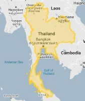

France: Much Bigger Than Your School Maps Showed You!
Did you know France controls more ocean territory than almost any country on Earth? Or that it’s large enough to fit the entire United Kingdom inside it 2-times?
Welcome to the true size of France – a nation that ranks as the 42nd largest in the world with 551,695 square kilometers (213,011 square miles) of territory but punches way above its weight globally!
When you look at a standard world map, France might not seem that impressive. But that’s the map playing tricks on you! Throughout this article, we’ll overlay France on other countries to show you how it really compares – and the results might surprise you.
France is the 3rd largest country in Europe (behind only Russia and Ukraine) and large enough that it would take 12 hours to drive across without stopping. With its iconic hexagonal shape and territories spread across the globe, France’s size and influence extend far beyond what most people realize.
Ready to discover just how big France truly is? Let’s dive in!
Here is how France compares to other countries, if we remove the Mercator projection distortion:
Watch France’s size in relation to other countries as we move it across the map. We compare it to the USA, Europe, Africa, Greenland, Brazil, Australia, Russia, India, China, etc. You can use this country size comparison interactive map here.
France’s True Size in Global Perspective
To better understand France’s dimensions, direct comparisons with familiar regions provide valuable context:

France vs. USA: France is roughly the size of Texas (695,662 km²) or slightly larger than Colorado and Wyoming combined
| Comparison | Flag | Area (km²) | Size Relative to France |
|---|---|---|---|
| France | |
551,695 | 1.0 |
| Spain |  |
505,990 | 0.92 times France’s size |
| Thailand | 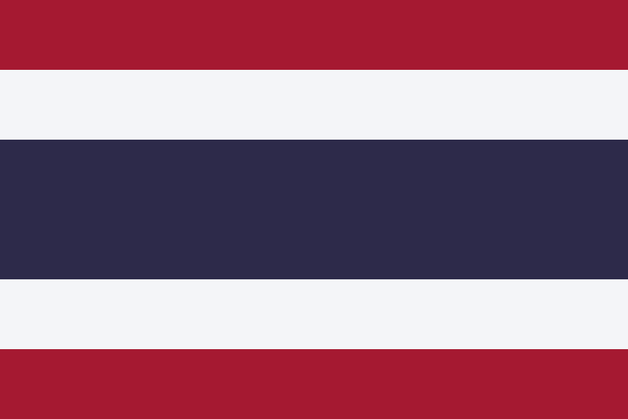 |
513,120 | 0.93 times France’s size |
| Kenya |  |
580,367 | 1.05 times France’s size |
| Colorado (US state) |  |
269,837 | 0.49 times France’s size |
5 Surprising France Size Comparisons
- France vs. Texas: France is about 80% the size of Texas (695,662 km²), making it larger than many people typically assume.
- France vs. Ukraine: Ukraine (603,550 km²) is approximately 10% larger than France, though this difference appears less significant on standard maps.

- France vs. United Kingdom: France is more than twice the size of the United Kingdom (242,495 km²), highlighting the significant difference between these historical rivals.

- France vs. Madagascar: France and Madagascar (587,041 km²) are surprisingly similar in size, though Madagascar appears smaller on many maps due to its location closer to the equator.

- France vs. European Neighbors: When compared to its Western European neighbors, France is significantly larger than Germany (357,022 km²) and nearly twice the size of Italy (301,340 km²).

France’s Geographic Diversity: A Country of Dramatic Contrasts
France boasts a landscape diversity that few nations can match—from snow-capped peaks to sun-drenched beaches:
- Five Major Mountain Ranges: France’s terrain is defined by the majestic Alps (home to Mont Blanc, Western Europe’s highest peak at 4,809 meters or 15,777 feet), the rugged Pyrenees forming a natural border with Spain, the ancient Massif Central dominating the heart of the country, and the rolling Jura and Vosges mountains creating distinctive regional landscapes
- Three Distinct Coastlines: With an impressive 3,427 kilometers (2,129 miles) of shoreline, France enjoys the warm azure waters of the Mediterranean, the powerful Atlantic Ocean with Europe’s highest sand dune (Dune du Pilat at 110 meters tall), and the historically significant English Channel—each supporting unique ecosystems and cultural traditions
- Four Major River Systems: The romantic Seine flowing through Paris, the Loire (France’s longest river at 1,006 kilometers) with its magnificent chateaux, the Garonne connecting to Spain, and the mighty Rhône linking Switzerland to the Mediterranean have shaped French settlement patterns for millennia
- Fertile Plains: The Paris Basin and other lowland areas contain some of Europe’s most productive agricultural regions, helping France become the European Union’s agricultural powerhouse with over 29 million hectares of cultivated land
- Extensive Forests: Covering 31% of the country—an area larger than the entire nation of Portugal—French forests include the vast Landes forest in the southwest (Europe’s largest cultivated forest) and ancient woodlands like the Fontainebleau forest, which has been protected since 1861, making it one of the world’s oldest nature reserves
The French Hexagon: A Distinctive National Identity
The French mainland’s roughly hexagonal shape is more than a geographical curiosity—it’s a defining element of national identity:
- The country is commonly known as “l’Hexagone” in French media, politics, and everyday conversation—a term that immediately evokes the nation’s distinctive shape
- This captivating hexagonal form emerges from natural boundaries: the English Channel to the northwest, the Atlantic Ocean to the west, the Pyrenees mountains to the southwest, the Mediterranean Sea to the southeast, the Alps to the east, and the Rhine River partially forming the northeastern border
- This unique shape creates an extraordinary climatic diversity where you can ski in the Alps in the morning and swim in the Mediterranean in the afternoon—all within the same country
- Major cities strategically positioned throughout this hexagon form a balanced urban network, with Paris at the center and Lyon, Marseille, Toulouse, Bordeaux, and Lille creating regional anchors
- The hexagonal layout inspired France’s iconic centralized transportation system with high-speed rail lines radiating from Paris like spokes on a wheel—making it possible to reach any corner of the country in under 4 hours by train
Population Distribution: Centralized Yet Diverse
France’s population distribution reflects historical, economic, and geographical patterns:
- With approximately 67 million people, France has a moderate population density of about 122 people per square kilometer (316 people per square mile)
- This density varies significantly, with the Paris region exceeding 1,000 people per square kilometer while rural areas in central and southwestern France have fewer than 50 people per square kilometer
- About 20% of the French population lives in the Paris metropolitan area, representing a significant concentration but less extreme than in some other European nations
- France maintains a network of medium-sized cities (100,000-500,000 inhabitants) throughout the country, contributing to relatively balanced regional development
- Coastal areas and major river valleys tend to have higher population densities, reflecting historical settlement patterns
France’s Regions: Administrative Diversity
France is divided into 18 administrative regions (13 in metropolitan France plus 5 overseas), each with distinctive characteristics:
| French Region | Area (km²) | Comparable Area |
|---|---|---|
| Nouvelle-Aquitaine (largest region) | 84,036 | Slightly smaller than Austria (83,871 km²) |
| Auvergne-Rhône-Alpes | 69,711 | Similar to Ireland (70,273 km²) |
| Île-de-France (incl. Paris) | 12,011 | Similar to Lebanon (10,452 km²) |
| Grand Est | 57,433 | Similar to Croatia (56,594 km²) |
| Corsica (smallest metropolitan region) | 8,680 | Similar to Cyprus (9,251 km²) |
Geography and Climate: European Crossroads
France’s position as a geographical crossroads creates distinctive climatic diversity:
- France experiences four primary climate types: oceanic in the west, continental in the central and eastern regions, Mediterranean in the southeast, and alpine in mountainous areas
- This climatic diversity allows France to produce a wide variety of agricultural products, contributing to its renowned culinary traditions
- Average July temperatures range from 17°C to 24°C (63°F to 75°F) across most of the country, while January averages range from 1°C to 8°C (34°F to 46°F), with significant variations by region
- Annual precipitation averages 600-950 mm across much of France, with the western coastal regions receiving more rainfall than the interior and Mediterranean areas
- The influence of the Atlantic Ocean moderates France’s climate, making its temperature extremes less pronounced than in countries farther east at similar latitudes
Borders and Access: The European Connector
France’s position gives it exceptional connectivity within Europe:
- France shares 2,889 kilometers (1,795 miles) of land borders with eight countries, giving it more neighbors than any other European nation
- The border with Germany extends 451 kilometers (280 miles), while the border with Spain spans 623 kilometers (387 miles) along the Pyrenees mountain range
- France’s 3,427-kilometer (2,129-mile) coastline provides direct access to the Atlantic Ocean, the Mediterranean Sea, and the English Channel
- The English Channel Tunnel (“Chunnel”) connects France directly to the United Kingdom, establishing a fixed link between the British Isles and continental Europe
- Major ports include Marseille (the largest in France and the Mediterranean), Le Havre, and Dunkirk
Natural Resources: Agricultural Wealth and Energy
France’s landscape provides diverse natural resources:
- Fertile agricultural land is France’s most valuable natural resource, supporting one of the world’s most productive agricultural sectors
- France has limited mineral resources, with small deposits of iron ore, bauxite, zinc, and uranium
- Water resources are abundant, supporting hydroelectric power generation, particularly in alpine regions
- Forests cover approximately 31% of the country, providing timber and supporting biodiversity
- France has developed significant renewable energy capacity, particularly in nuclear power (which provides about 70% of its electricity), hydropower, and increasingly in solar and wind energy
Geographic Challenges: Climate and Urbanization
France’s environment creates specific challenges:
- Flooding: Seasonal flooding along major rivers, particularly the Seine, Loire, and Rhône, poses recurring challenges to urban and rural areas
- Urban Concentration: The concentration of population and economic activity in the Paris region creates infrastructure, housing, and environmental pressures
- Coastal Erosion: Parts of the Atlantic and Mediterranean coastlines face significant erosion problems, threatening both natural environments and human settlements
- Alpine Hazards: Mountain regions face challenges from avalanches, landslides, and glacial retreat
- Climate Change: France is experiencing more frequent heat waves, altered precipitation patterns, and increased risk of drought, particularly in southern regions
Overseas France: The Sun Never Sets on the French Republic
Beyond Europe, France maintains a remarkable global presence that spans every ocean and multiple continents:
- France’s overseas territories include five overseas regions that are fully integrated parts of France itself—Guadeloupe, Martinique, French Guiana, Réunion, and Mayotte—with the same legal status as any metropolitan French region like Normandy or Provence
- These territories give France a presence in the Caribbean (where it controls the largest island area), South America (French Guiana is larger than Austria), the Indian Ocean, and across the vast Pacific (where French Polynesia spans an area the size of Europe)
- With these overseas territories included, France’s total land area expands to 643,801 km² (248,573 sq mi)—an additional territory nearly twice the size of Germany
- Perhaps most impressively, France controls the world’s second-largest maritime territory (Exclusive Economic Zone) at a staggering 11.7 million km² (4.5 million sq mi)—larger than the entire continental United States and second only to the United States’ total maritime claims
- This global footprint gives France jurisdiction over some of the planet’s most biodiverse environments—from the Amazon rainforest in French Guiana (where the European Space Agency launches rockets) to pristine coral atolls in the Pacific that contain 20% of the world’s lagoons
Explore More Size Comparisons
Curious about how other major countries and regions compare in true size? Check out these related articles:
- The True Size of Spain: Iberian Nation Larger Than You Think
- The Real Size of Germany
- The Real Size of Italy: Mediterranean Peninsula’s True Dimensions
- The True Size of USA
- Complete List of Countries by True Size
Sources & Further Reading
- Institut national de la statistique et des études économiques. (2023). Geography and Environment.
- Institut Géographique National. (2022). Geographical Information.
- CIA World Factbook. (2023). France.