Egypt
World Rank: #24
1,001,450 km²

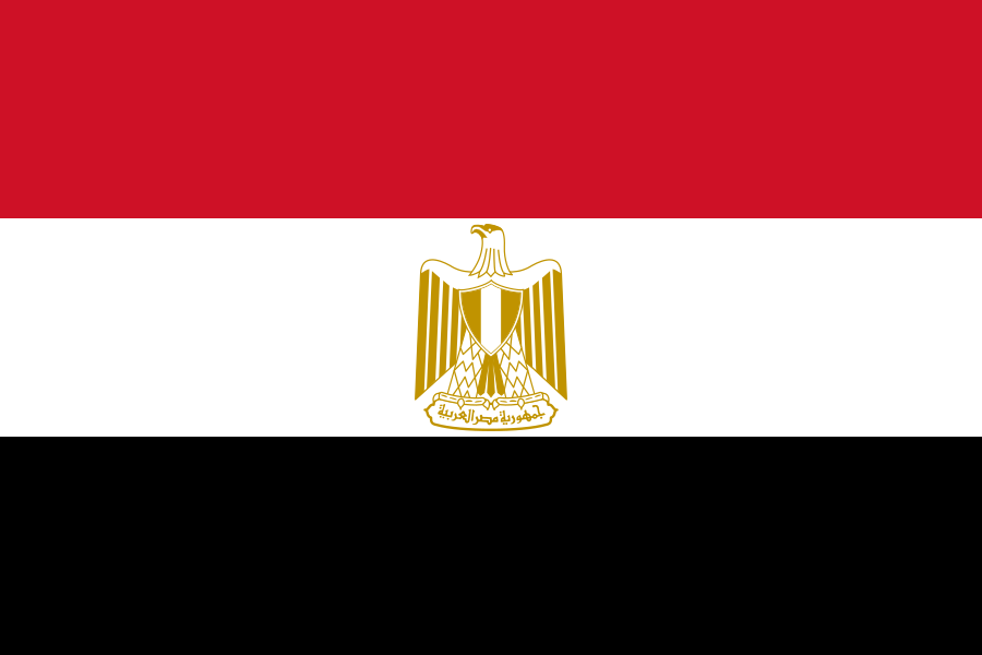


Egypt: The Vast Ancient Land Where 99% Lives on 5%
Egypt ranks as the twenty-fourth largest country in the world with a territory of 1,001,450 square kilometers (386,662 square miles). This massive North African and West Asian nation (as it straddles both continents) is the continent’s eleventh-largest country, yet its true scale remains consistently underestimated in global consciousness. What’s truly astounding is that Egypt’s massive expanse could contain France, Germany, and the United Kingdom combined—essentially swallowing three of Europe’s most powerful nations with room to spare.
What makes Egypt’s geography extraordinary is its stark duality: a narrow fertile strip along the Nile River that has supported one of humanity’s oldest civilizations, surrounded by vast expanses of desert that make up over 95% of the country’s territory. This geographic paradox has created one of the world’s most extreme population distributions, with approximately 99% of Egyptians living on just 5% of the land.
Located between approximately 22° and 32° North latitude, Egypt experiences moderate distortion on standard Mercator projection maps. While this distortion is less dramatic than for countries at more extreme latitudes, the psychological tendency to underestimate African and Middle Eastern countries’ dimensions has contributed to widespread misconceptions about Egypt’s true size and geographic significance.
Watch Egypt shrink to its actual size as we move it toward the equator. We compare it to the USA, Europe, Africa, Greenland, Brazil, Australia, Russia, India, China, etc. You can use this country size comparison interactive map here.
Egypt’s Shocking True Size Will Leave You Stunned: Global Perspective
To truly grasp Egypt’s dimensions, these direct comparisons with familiar countries and regions provide eye-opening context:

Egypt vs. Western Europe: Egypt would completely engulf several major European powers combined
| Comparison | Area (km²) | Size Relative to Egypt |
|---|---|---|
| Egypt | 1,001,450 | 1.0 |
| France, Germany, and UK combined | ~943,000 | ~0.94 times Egypt’s size |
| Tanzania | 947,300 | 0.95 times Egypt’s size |
| Texas and Colorado combined (US states) | ~975,000 | ~0.97 times Egypt’s size |
| Spain, Italy, United Kingdom, and Portugal combined | ~928,000 | ~0.93 times Egypt’s size |
5 Astounding Egypt Size Comparisons You’ve Never Seen
- Egypt vs. United States: Egypt is nearly twice the size of Texas, America’s second-largest state. If placed over the eastern United States, it would stretch from New York to South Carolina and west past the Mississippi River.

- Egypt vs. Western Europe: Egypt could contain France, Germany, the United Kingdom, Belgium, and the Netherlands combined.
- Egypt vs. Japan: Egypt is approximately 2.6 times larger than Japan, despite Japan having about one-third more people.

- Egypt vs. India:

- Egypt vs Australia

Egypt’s Geographic Duality: Green Ribbon and Golden Desert
Egypt’s territory is characterized by a stark contrast between two vastly different landscapes:
- The Nile Valley and Delta: A narrow strip of intensely fertile land along the Nile River and its delta, comprising only about 5% of Egypt’s territory but supporting almost the entire population
- The Eastern Desert: A mountainous region between the Nile Valley and the Red Sea, characterized by rugged terrain and ancient mining regions
- The Western Desert: Part of the vast Sahara, covering about two-thirds of Egypt’s territory, featuring massive sand seas, depressions, and scattered oases
- The Sinai Peninsula: A triangular landmass that connects Africa with Asia, featuring mountainous terrain in the south and desert in the north
- Coastal Regions: Egypt borders the Mediterranean Sea to the north and the Red Sea to the east, with nearly 2,900 kilometers (1,800 miles) of coastline
The Nile: Life-Giving Artery of a Desert Nation
The Nile River is not just Egypt’s defining geographical feature but the very reason for its existence:
- Flowing north for 1,545 kilometers (960 miles) through Egypt, the Nile is the world’s longest river and has supported continuous human civilization for over 5,000 years
- The river creates a fertile valley that averages just 10 kilometers (6.2 miles) in width, flanked by desert on both sides
- The Nile Delta, where the river fans out into the Mediterranean Sea, forms a triangular area of approximately 25,000 square kilometers (9,650 square miles) of fertile land
- Before the construction of the Aswan High Dam in 1970, the annual Nile flood deposited nutrient-rich silt that renewed the soil’s fertility, a cycle that sustained Egyptian civilization for millennia
- Egypt depends on the Nile for over 90% of its freshwater supply, creating a profound hydrological dependency on upstream countries, particularly Ethiopia where the Blue Nile originates
The Western Desert: Vast and Mysterious
The Western Desert (also called the Libyan Desert) covers approximately two-thirds of Egypt’s territory:
- This massive expanse of about 680,000 square kilometers (262,500 square miles) is larger than France and Germany combined
- The region contains several massive depressions, including the Qattara Depression, which at its lowest point is 133 meters (436 feet) below sea level and covers an area larger than Switzerland
- Five major oases—Siwa, Bahariya, Farafra, Dakhla, and Kharga—form islands of habitation in this desert sea, each with its own distinct character and history
- The Great Sand Sea near the Libyan border features enormous dunes reaching heights of over 100 meters (330 feet)
- The Western Desert contains remarkable archaeological and geological features, including the White Desert with its surreal chalk formations, prehistoric cave art, and remnants of ancient caravan routes
Population Distribution: The World’s Most Extreme
Egypt’s population pattern represents one of the world’s most extreme cases of demographic concentration:
- With approximately 110 million people, Egypt is Africa’s third-most populous country, yet about 99% of Egyptians live on just 5-6% of the land
- Population density in the inhabited areas averages over 2,000 people per square kilometer—among the highest in the world—while the vast desert regions are virtually uninhabited
- Greater Cairo, with about 22 million inhabitants, is the largest metropolitan area in Africa and the Middle East, containing approximately 20% of Egypt’s entire population
- The narrow Nile Valley has some of the world’s highest rural population densities, with villages often located just a few kilometers apart
- This extreme concentration creates both challenges and efficiencies—infrastructure development is simplified by population density, but overcrowding and pollution are significant issues
Egypt’s Governorates: Desert Expanses and Dense Valleys
Egypt’s 27 governorates (administrative divisions) vary dramatically in size and population:
| Egyptian Governorate | Area (km²) | Comparable Country |
|---|---|---|
| New Valley (Al Wadi Al Jadid) | 376,505 | Japan (377,975 km²) |
| Matrouh | 212,112 | Belarus (207,600 km²) |
| South Sinai | 31,272 | Belgium (30,528 km²) |
| Red Sea | 203,685 | Guyana (214,969 km²) |
| Cairo | 3,085 | Luxembourg (2,586 km²) |
Geography and Climate: Desert Dominance
Egypt’s geography creates one of the world’s most arid and extreme climates:
- Over 95% of Egypt experiences hot desert climate (BWh in the Köppen classification), with the remaining small areas along the Mediterranean coast having a hot Mediterranean climate (Csa)
- Annual rainfall is extremely low throughout most of the country, with Cairo averaging just 25 mm (1 inch) per year and large parts of the southern deserts receiving essentially no measurable precipitation for years at a time
- Summer temperatures regularly exceed 40°C (104°F) in the desert regions, with the highest recorded temperature reaching 50.3°C (122.5°F) at Kharga Oasis
- The khamsin, a hot, dry, sand-laden wind, blows from the south in spring, sometimes raising temperatures by 20°C (36°F) in just a few hours
- Despite the overall aridity, humidity along the coast can be high, and the northern delta region occasionally experiences frost in winter
The Suez Canal: Engineering Marvel and Geopolitical Nexus
The Suez Canal represents one of the world’s most significant artificial geographical features:
- Completed in 1869, this 193-kilometer (120-mile) waterway connects the Mediterranean Sea to the Red Sea, effectively linking Europe with Asia without circumnavigating Africa
- The canal traverses the Isthmus of Suez, the narrow land bridge connecting Africa and Asia, and passes through three natural lakes: Lake Manzala, Lake Timsah, and the Great Bitter Lake
- Approximately 12% of global trade passes through the Suez Canal, including about 30% of global container traffic
- Unlike the Panama Canal, the Suez Canal has no locks, as the Mediterranean Sea and the Red Sea have approximately the same water level
- The 2015 expansion of the canal, which added a new 35-kilometer (22-mile) parallel channel, dramatically increased capacity and reduced transit times
Mount Sinai and the Red Sea Mountains: Desert Peaks
Egypt’s topography includes several significant mountain ranges:
- The Sinai Peninsula features a mountainous southern region, culminating in Mount Catherine (Jabal Katrina), Egypt’s highest point at 2,629 meters (8,625 feet)
- Nearby Mount Sinai (Jabal Musa), at 2,285 meters (7,497 feet), holds religious significance as the traditional site where Moses received the Ten Commandments
- The Red Sea Mountains run parallel to the Red Sea coast, forming a rugged spine along the Eastern Desert with peaks reaching over 2,000 meters (6,560 feet)
- These mountains contain significant mineral resources, including gold, which has been mined since ancient Egyptian times
- The stark beauty of these desert mountains, with their dramatic wadis (dry riverbeds) and colorful rock formations, offers landscapes that contrast sharply with the popular image of Egypt focused solely on the Nile Valley
Natural Resources: Beyond the Pharaohs’ Gold
Despite its desert dominance, Egypt possesses significant natural resources:
- The discovery of the massive Zohr gas field in 2015 in the Mediterranean Sea transformed Egypt’s energy outlook, making it a significant natural gas producer
- Egypt has modest petroleum reserves, primarily in the Western Desert, Gulf of Suez, and Sinai regions
- The country possesses substantial mineral resources, including iron ore, phosphates, manganese, limestone, gypsum, talc, asbestos, lead, and zinc
- The fertile soils of the Nile Valley and Delta, though limited in area, are among the most productive agricultural lands in the world
- Egypt’s vast desert areas offer enormous potential for solar energy, with some of the highest solar radiation levels in the world
Geographic Challenges: Water Security in a Desert Nation
Egypt’s geography creates significant development challenges:
- Water Scarcity: Egypt is one of the world’s most water-poor countries on a per capita basis, with less than 700 cubic meters per person annually (well below the 1,000 cubic meter threshold for water scarcity)
- Nile Dependency: Egypt relies on the Nile for about 97% of its freshwater, creating vulnerability to upstream development projects like Ethiopia’s Grand Renaissance Dam
- Sea Level Rise: The low-lying Nile Delta, home to over 40 million people, is one of the world’s regions most threatened by climate change-induced sea level rise
- Desert Expansion: Desertification threatens agricultural lands on the desert margins, while urban expansion consumes valuable farmland in the Nile Valley
- Population Concentration: The extreme concentration of population creates challenges for infrastructure, housing, and services, particularly in Greater Cairo
Explore More Size Comparisons
Curious about how other major countries and continents compare in true size? Check out these related articles:
- The Surprising Scale of Ethiopia: Ancient Highland Empire Larger Than France and Spain Combined
- The Real Size of Tanzania: East African Giant Larger Than All of Western Europe
- The Staggering Size of Colombia: Andean Nation Bigger Than All of France, Germany and Italy Combined
- The True Size of Africa: A Continent Far Larger Than Maps Suggest
- Complete List of Countries by True Size
Sources & Further Reading
- Central Agency for Public Mobilization and Statistics (CAPMAS). (2023). Statistical Yearbook.
- Egyptian Survey Authority. (2022). Geographical Information.
- CIA World Factbook. (2023). Egypt.