Chile
World Rank: #32
756,102 km²




Chile: The Extraordinary Ribbon Nation That Defies Geographic Logic
Chile ranks as the thirty-second largest country in the world with a territory of 756,102 square kilometers (291,933 square miles). This substantial South American nation is the continent’s seventh-largest country, yet its true scale remains consistently underappreciated in global consciousness. What’s truly astonishing about Chile isn’t just its size but its extraordinary shape—a thin sliver of land stretching along South America’s western edge for an incredible 4,270 kilometers (2,653 miles), making it the world’s longest country from north to south.
To put this remarkable length in perspective, if you placed Chile in North America with its northernmost point at the US-Canada border in Washington state, its southernmost tip would reach past the southern end of Florida and extend into the Caribbean. This extraordinary geographic anomaly creates a country that, while similar in area to Turkey or Texas, has a coastal length comparable to the entire western coast of the United States.
Located between approximately 17° and 56° South latitude, Chile experiences significant distortion on standard Mercator projection maps. The country’s southern regions appear substantially larger than they actually are, while its true length is often poorly represented on world maps. This cartographic challenge, combined with Chile’s unusual shape, has contributed to widespread misconceptions about its true dimensions and geographic significance.
Watch Chile shrink to its actual size as we move it toward the equator. We compare it to the USA, Europe, Africa, Greenland, Brazil, Australia, Russia, India, China, etc. You can use this country size comparison interactive map here.
Chile’s True Size and Length Will Astound You: Global Perspective
To truly grasp Chile’s dimensions, these direct comparisons with familiar countries and regions provide eye-opening context:

Chile vs. US West Coast: Chile would stretch from Canada to Mexico and beyond
| Comparison | Area (km²) | Size Relative to Chile |
|---|---|---|
| Chile | 756,102 | 1.0 |
| Texas (US state) | 695,662 | 0.92 times Chile’s size |
| Germany and Italy combined | ~717,000 | ~0.95 times Chile’s size |
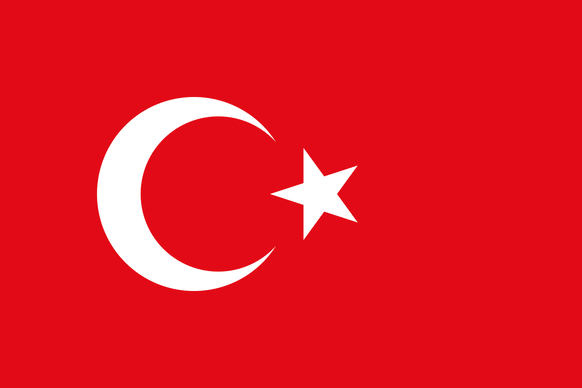
| Turkey | 783,562 | 1.04 times Chile’s size |
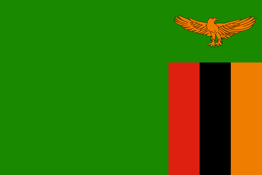
| Zambia | 752,618 | 0.995 times Chile’s size |
5 Incredible Chile Length Comparisons That Will Leave You Stunned
- Chile vs. United States: If placed in the eastern United States, Chile would stretch from northern Maine to central Florida. In terms of area, it’s slightly larger than Texas.
- Chile vs. Western Europe: Chile’s length is equivalent to the distance from London to Cairo. In area, it could contain the United Kingdom, Italy, and Austria combined.

- Chile vs. Japan:

- Chile vs. India:

- Chile vs. Australia:

Chile’s Geographic Diversity: A World of Climates in One Country
Chile’s extraordinary length creates unparalleled geographic diversity:
- Atacama Desert: The northern third of Chile contains the Atacama Desert, the driest non-polar desert on Earth, with some areas having never recorded rainfall
- Central Valley: The country’s middle section features a temperate Mediterranean climate and fertile valley between coastal mountains and the Andes, where most of the population lives
- Lakes District: Southern Chile contains a region of dramatic lakes, active volcanoes, and lush temperate rainforests
- Patagonia: The southernmost portion features a wind-swept landscape of rugged mountains, massive glaciers, and fjords
- Chilean Antarctica: Chile claims a wedge-shaped portion of Antarctica, though this territory is not universally recognized and is subject to the Antarctic Treaty System
- Pacific Islands: Chile’s territory includes several notable Pacific islands, including Easter Island (Rapa Nui) and the Juan Fernández Archipelago
The Atacama Desert: Earth’s Driest Place
Northern Chile contains one of the world’s most extreme environments:
- The Atacama Desert covers approximately 105,000 square kilometers (40,500 square miles) in northern Chile
- It is the driest non-polar desert on Earth, with some areas receiving less than 1 mm (0.04 inches) of precipitation annually
- Parts of the Atacama are so arid that they are used by NASA to test Mars rovers due to the soil’s similarity to Martian conditions
- Despite its extreme aridity, the desert contains remarkable biodiversity with many endemic species adapted to survive in these harsh conditions
- The Atacama’s exceptional atmospheric conditions—high altitude, minimal light pollution, and clear skies—have made it home to several major international observatories, including the Atacama Large Millimeter Array (ALMA) and the European Southern Observatory (ESO)
The Andes: Chile’s Towering Spine
The Andes mountain range forms Chile’s eastern border and geographical backbone:
- Running the entire length of Chile for over 4,000 kilometers (2,500 miles), the Andes form the world’s longest continuous mountain range and the second-highest after the Himalayas
- Ojos del Salado, on the Chile-Argentina border, is the highest peak in Chile and the highest active volcano in the world at 6,893 meters (22,615 feet)
- The Chilean Andes contain approximately 2,000 volcanoes, of which around 500 are considered geologically active and 60 have recorded historical eruptions
- These mountains create a formidable natural barrier with Argentina, with most passes closed during winter due to heavy snowfall
- The Andes play a crucial role in Chile’s climate, blocking moisture from the Amazon Basin and creating a rain shadow effect that contributes to the Atacama Desert’s extreme aridity
Easter Island (Rapa Nui): Chile’s Remote Outpost
Chile’s territory includes one of the world’s most isolated inhabited islands:
- Easter Island (Rapa Nui) is located in the southeastern Pacific Ocean, approximately 3,700 kilometers (2,300 miles) west of mainland Chile
- Despite being part of Chile, the island is culturally Polynesian and represents the easternmost extension of the Polynesian triangle in the Pacific
- The island is famous for its nearly 1,000 monumental statues called moai, created by the early Rapa Nui people between the 13th and 16th centuries
- At just 163 square kilometers (63 square miles), Easter Island is tiny compared to mainland Chile, yet it significantly expands Chile’s exclusive economic zone in the Pacific
- The inclusion of Easter Island extends Chile’s geographical reach an additional 3,700 kilometers westward, giving the country a total east-west span of over 4,300 kilometers (2,670 miles) when measured from its easternmost point in the Andes to Easter Island
Patagonia: The Wild South
Southern Chile contains one of the world’s last great wilderness regions:
- Chilean Patagonia covers approximately 240,000 square kilometers (92,700 square miles) in the country’s southern third
- This region features some of the world’s most dramatic landscapes, including the Torres del Paine National Park with its iconic granite spires
- The Southern Patagonian Ice Field, shared with Argentina, is the world’s third-largest freshwater reserve and the largest ice field outside the polar regions
- Chilean Patagonia’s coast is characterized by a complex maze of fjords, islands, and channels created by the interaction of glaciers with the Andes mountains as they meet the Pacific Ocean
- The region experiences some of the strongest winds on Earth, with gusts regularly exceeding 120 km/h (75 mph) and sometimes reaching 200 km/h (124 mph)
Population Distribution: Central Concentration
Chile’s population pattern shows remarkable geographical concentration:
- With approximately 19 million people, Chile has a moderate average population density of about 25 people per square kilometer
- This density varies dramatically by region, with over 90% of Chileans living in the central third of the country, particularly in the Central Valley region
- About 88% of Chileans live in urban areas, one of the highest urbanization rates in Latin America
- Santiago, the capital and largest city with about 6.8 million inhabitants in its metropolitan area, is home to approximately 36% of Chile’s entire population
- The extreme northern (Atacama) and southern (Patagonia) regions remain sparsely populated, with vast areas having fewer than 1 person per square kilometer
Chile’s Regions: Large as European Nations
Many of Chile’s 16 regions (administrative divisions) are comparable in size to entire countries:
| Chilean Region | Area (km²) | Comparable Country |
|---|---|---|
| Antofagasta | 126,049 | Greece (131,957 km²) |
| Magallanes | 132,291 | Nicaragua (130,373 km²) |
| Aysén | 108,494 | Guatemala (108,889 km²) |
| Atacama | 75,176 | Sierra Leone (71,740 km²) |
| Coquimbo | 40,580 | Switzerland (41,277 km²) |
Geography and Climate: A World of Extremes
Chile’s extraordinary length creates one of the world’s most diverse climate ranges within a single country:
- Chile encompasses seven major climate types according to the Köppen classification system, ranging from hot desert in the north to oceanic and tundra in the far south
- Parts of the Atacama Desert in northern Chile receive less than 1 mm (0.04 inches) of rainfall annually, while southern areas can receive over 4,000 mm (157 inches)
- Temperature variations are equally extreme, with summer highs in the northern desert exceeding 40°C (104°F) while winter temperatures in southernmost areas can drop below -20°C (-4°F)
- The north-south orientation of the Andes creates distinct climate zones even at the same latitude, with dramatic differences between the western and eastern slopes
- The Humboldt Current, flowing northward along Chile’s coast, moderates coastal temperatures and contributes to the aridity of the northern regions
Natural Resources: Copper Kingdom and Beyond
Chile possesses significant natural resources:
- Chile is the world’s largest copper producer, with approximately 28% of global reserves, primarily in the northern regions
- The country also has substantial deposits of other minerals including lithium (holding about 51% of the world’s reserves), molybdenum, gold, silver, and iron
- Chile’s diverse climates support a variety of agricultural products, with the central valley producing world-renowned wines and fruits
- The country’s 4,270-kilometer (2,653-mile) coastline provides abundant marine resources, making Chile one of the world’s top fishing nations
- Chile has substantial renewable energy potential, particularly in solar energy in the northern desert (with the world’s highest solar radiation levels), geothermal energy along the volcanic belt, and wind power in the south
Geographic Challenges: Earthquakes, Isolation, and Connectivity
Chile’s geography creates significant development challenges:
- Seismic Activity: Chile sits along the Pacific Ring of Fire and is one of the world’s most earthquake-prone countries, experiencing the largest recorded earthquake in history (magnitude 9.5) in 1960
- Tsunamis: The country’s long coastline is vulnerable to tsunamis generated by submarine earthquakes, as dramatically demonstrated in 2010
- Transportation: Chile’s extreme length and challenging terrain create significant infrastructure challenges, with ground transportation often difficult between distant regions
- Isolation: The Andes to the east, the Pacific Ocean to the west, the Atacama Desert to the north, and the South Pacific and Antarctic waters to the south create natural barriers that historically isolated Chile from the rest of the world
- Climate Change: Chile faces multiple climate change threats, including glacial retreat in the Andes affecting water supplies, sea level rise threatening coastal communities, and increased drought risk in the central regions
Explore More Size Comparisons
Curious about how other major countries and continents compare in true size? Check out these related articles:
- The Remarkable True Size of Turkey: Transcontinental Giant Larger Than Texas and All of New England Combined
- The Surprising Scale of Zambia: African Heartland Larger Than Most European Nations Combined
- The Surprising Vastness of Mozambique: Coastal Giant Larger Than Turkey and Italy Combined
- Complete List of Countries by True Size
Sources & Further Reading
- Instituto Nacional de Estadísticas (INE). (2023). Geographical and Statistical Data.
- Instituto Geográfico Militar de Chile. (2022). Geographic Information.
- CIA World Factbook. (2023). Chile.