Turkey
World Rank: #31
783,562 km²

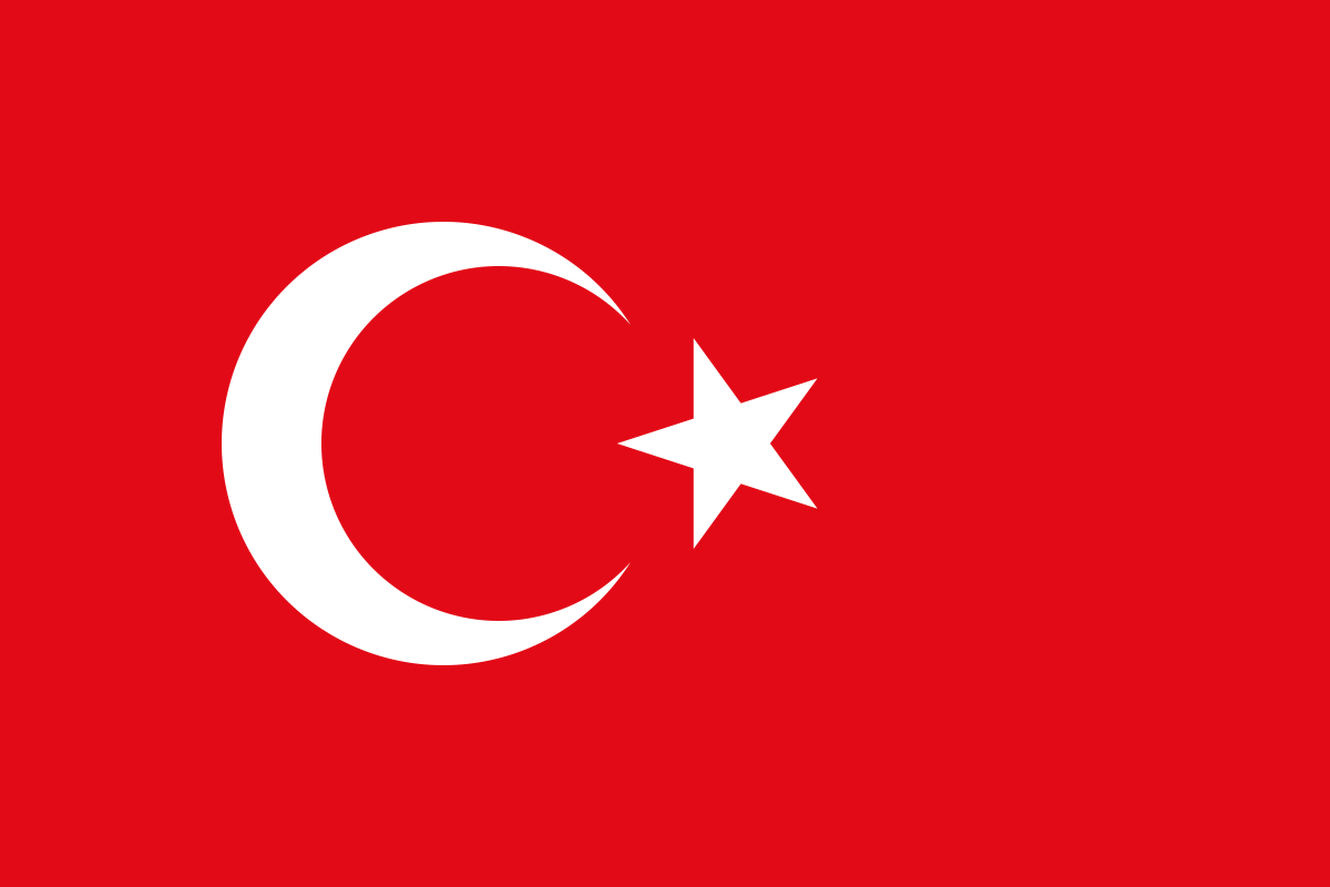


Turkey: The Transcontinental Bridge That’s Vastly Larger Than Most Realize
Turkey ranks as the thirty-first largest country in the world with a territory of 783,562 square kilometers (302,535 square miles). This substantial transcontinental nation is Asia’s eighth-largest country and Europe’s largest, yet its true scale remains consistently underappreciated in global consciousness. What’s truly astonishing is that Turkey’s massive expanse could contain the entire state of Texas plus all six New England states combined—a landmass that would stretch from the Mexican border to the Canadian border if placed in the United States.
What makes Turkey’s geography extraordinary is not just its size but its position as the literal bridge between Europe and Asia. Straddling two continents with territory in both southeastern Europe (Thrace) and western Asia (Anatolia), Turkey occupies one of the world’s most strategically significant locations. This geographic reality has shaped Turkey’s history, culture, and geopolitical importance for millennia.
Located between approximately 36° and 42° North latitude, Turkey experiences moderate distortion on standard Mercator projection maps. While not as severely exaggerated as countries at higher latitudes, Turkey’s proximity to Europe leads many to psychologically underestimate its true dimensions relative to European countries. This misperception has contributed to widespread misconceptions about Turkey’s actual size and geographic significance.
Watch Turkey shrink to its actual size as we move it toward the equator. We compare it to the USA, Europe, Africa, Greenland, Brazil, Australia, Russia, India, China, etc. You can use this country size comparison interactive map here.
Turkey’s True Size Will Astound You: Global Perspective
To truly grasp Turkey’s dimensions, these direct comparisons with familiar countries and regions provide eye-opening context:

Turkey vs. Western Europe: Turkey would engulf multiple European countries simultaneously
| Comparison | Area (km²) | Size Relative to Turkey |
|---|---|---|
| Turkey | 783,562 | 1.0 |
| Texas + all New England states (US) | ~772,000 | ~0.99 times Turkey’s size |
| Germany, Italy, and Belgium combined | ~748,000 | ~0.95 times Turkey’s size |
| United Kingdom, Italy, and Portugal combined | ~774,000 | ~0.99 times Turkey’s size |
| Chile | 756,102 | 0.96 times Turkey’s size |
5 Mind-Blowing Turkey Size Comparisons You’ve Never Seen
- Turkey vs. United States: Turkey is slightly larger than Texas, America’s second-largest state. If placed over the eastern United States, it would stretch from New York to South Carolina and west to Tennessee.

- Turkey vs. Western Europe: Turkey could contain the United Kingdom, Italy, and Belgium combined.
- Turkey vs. Japan: Turkey is approximately 2.1 times larger than Japan, despite Japan having a population 1.5 times greater.

- Turkey vs. India:

- Turkey vs. Australia:

Turkey’s Geographic Diversity: A Four-Region Wonder
Turkey’s territory encompasses remarkable environmental diversity across four major geographic regions:
- Black Sea Region (Karadeniz): The northern coastal belt, characterized by high, rugged mountains running parallel to the coast, lush vegetation, and the highest rainfall in Turkey
- Marmara Region: The northwestern region including European Turkey (Thrace) and the area surrounding the Sea of Marmara, featuring rolling hills and the most densely populated areas
- Aegean and Mediterranean Region: The western and southern coastal areas with their characteristic Mediterranean climate, featuring dramatic mountain backdrops that descend to fertile coastal plains and beautiful beaches
- Anatolian Plateau: The vast central plateau that forms the heartland of Turkey, characterized by rolling plains, salt lakes, and steppe vegetation, typically at elevations of 500-1,500 meters (1,640-4,920 feet)
- Eastern Anatolia: The rugged eastern region featuring Turkey’s highest mountains, a harsh continental climate, and dramatic landscapes
Mount Ararat: Turkey’s Iconic Summit
Eastern Turkey contains one of the world’s most legendary mountains:
- Mount Ararat (Ağrı Dağı) stands at 5,137 meters (16,854 feet), making it Turkey’s highest peak
- This dormant volcanic mountain consists of two main peaks: Greater Ararat (the highest point) and Lesser Ararat (3,896 meters/12,782 feet)
- Ararat is famous in Biblical tradition as the resting place of Noah’s Ark after the Great Flood
- Located near the borders with Armenia and Iran, the mountain has significant cultural importance to multiple civilizations throughout history
- Despite its location in a hot region, Ararat’s summit is capped with a permanent ice field, though this has shrunk significantly in recent decades due to climate change
The Bosphorus: Where Continents Meet
The Bosphorus Strait represents one of the world’s most significant geographic features:
- This narrow waterway connecting the Black Sea to the Sea of Marmara is just 700-3,000 meters (2,300-9,800 feet) wide and forms part of the traditional boundary between Europe and Asia
- The strait runs for approximately 32 kilometers (20 miles) through the heart of Istanbul, the only major city in the world that straddles two continents
- The Bosphorus, along with the Dardanelles Strait, forms the Turkish Straits, a crucial maritime passage that has been of immense strategic importance throughout history
- The straits are the only maritime connection between the Black Sea and the Mediterranean, giving Turkey control over a waterway vital to several countries, including Russia and Ukraine
- In modern times, the Bosphorus has been spanned by three bridges, with a roadway tunnel (the Eurasia Tunnel) and a railway tunnel (the Marmaray) also connecting the European and Asian sides of Istanbul beneath the strait
Cappadocia: Fairy Chimneys and Underground Cities
Central Turkey contains one of the world’s most surreal landscapes:
- Cappadocia is characterized by extraordinary rock formations known as “fairy chimneys” or hoodoos—tall, thin spires of rock that rise from the landscape
- These formations resulted from ancient volcanic eruptions that covered the region in thick ash, which later solidified into a soft rock called tuff
- Erosion over millions of years sculpted this tuff into the fantastical shapes seen today, creating a landscape that seems almost otherworldly
- For thousands of years, people have carved homes, churches, and entire underground cities into the soft stone, creating a unique architectural heritage
- The region contains over 200 underground cities, some descending multiple levels below the surface, with the largest (Derinkuyu) extending 85 meters (280 feet) deep and capable of sheltering up to 20,000 people
Lake Van: Turkey’s Inland Sea
Eastern Turkey contains the country’s largest lake:
- Lake Van covers approximately 3,755 square kilometers (1,450 square miles), making it the largest lake in Turkey and one of the largest endorheic (closed-basin) lakes in the world
- This saline soda lake has no outlet, with water leaving only by evaporation, resulting in highly alkaline waters (pH around 9.8)
- Located at an elevation of 1,640 meters (5,380 feet) in eastern Turkey, the lake is surrounded by dramatic mountain scenery
- The lake contains four islands, the largest being Akdamar Island, famous for its 10th-century Armenian church
- Lake Van is home to a unique species of fish found nowhere else in the world—the Pearl Mullet (Chalcalburnus tarichi)—which has adapted to the lake’s unusual chemistry
Population Distribution: A Country of Contrasts
Turkey’s population pattern shows distinct demographic patterns:
- With approximately 85 million people, Turkey has a moderate average population density of about 109 people per square kilometer
- This density varies dramatically by region, with the Marmara Region (including Istanbul) having over 500 people per square kilometer while parts of eastern Anatolia have fewer than 30 people per square kilometer
- About 76% of Turks live in urban areas, with urbanization continuing steadily
- Istanbul, straddling Europe and Asia, is by far the largest city with about 16 million inhabitants—nearly 19% of Turkey’s entire population
- The population is distributed unevenly, with the coastal regions (particularly the western and southern coasts) and the Marmara region having much higher densities than the interior Anatolian plateau and eastern mountains
Turkey’s Provinces: Large as European Nations
Many of Turkey’s 81 provinces (administrative divisions) are comparable in size to entire countries:
| Turkish Province | Area (km²) | Comparable Country |
|---|---|---|
| Konya | 38,873 | Belgium (30,528 km²) |
| Sivas | 28,488 | Albania (28,748 km²) |
| Erzurum | 25,066 | Macedonia (25,713 km²) |
| Ankara | 24,521 | Slovenia (20,273 km²) |
| Van | 21,334 | Israel (20,770 km²) |
Geography and Climate: Where Worlds Collide
Turkey’s geography creates a remarkable diversity of climatic conditions:
- Turkey experiences at least seven distinct climate types according to the Köppen classification system, ranging from Mediterranean to continental to alpine
- The Black Sea coast receives the highest rainfall, creating a humid subtropical climate with year-round precipitation and lush vegetation
- The Mediterranean and Aegean coasts experience classic Mediterranean climate with hot, dry summers and mild, rainy winters
- Central Anatolia has a semi-arid steppe climate with hot summers, cold winters, and limited rainfall
- Eastern Anatolia experiences a harsh continental climate with very cold winters (temperatures regularly dropping below -30°C/-22°F) and hot summers, plus significant snowfall
- The southeastern region has a hot semi-arid climate, with scorching summers where temperatures can exceed 45°C (113°F)
Tectonic Turkey: Living on the Fault Lines
Turkey sits at a complex geological crossroads:
- The country is located at the collision zone of three major tectonic plates—the Eurasian, African, and Arabian plates—making it one of the world’s most seismically active regions
- The North Anatolian Fault, one of the world’s most active and dangerous fault lines, runs approximately 1,500 kilometers (930 miles) across northern Turkey, roughly parallel to the Black Sea coast
- This fault has been responsible for several devastating earthquakes, including the 1999 İzmit earthquake that killed over 17,000 people and the 2023 Turkey-Syria earthquakes that killed over 55,000 people
- Turkey’s tectonic activity has also created its volcanic landscapes, with numerous extinct and dormant volcanoes including Mount Erciyes, Mount Hasan, and Mount Ararat
- The same geological forces have blessed Turkey with abundant geothermal resources, with hot springs found throughout the country
Natural Resources: A Land of Plenty
Turkey possesses significant natural resources:
- The country has substantial mineral deposits, ranking among the world’s top producers of boron minerals, feldspar, perlite, pumice, and trona
- Turkey also produces significant amounts of chromium, copper, gold, marble, and many other minerals
- Though not richly endowed with fossil fuels, Turkey has modest coal reserves and some small oil and natural gas deposits
- The country has considerable renewable energy potential, particularly in hydroelectric power (with numerous rivers feeding from the mountainous terrain), geothermal, solar, and wind energy
- Turkey’s diverse climates and soils support varied agriculture, making it one of the few countries in the world that is largely self-sufficient in food production
Geographic Challenges: Water, Mountains, and Earthquakes
Turkey’s geography creates significant development challenges:
- Seismic Activity: Turkey’s location along multiple fault lines makes it highly vulnerable to devastating earthquakes
- Water Management: Despite having significant water resources, Turkey faces challenges in distribution, with western regions generally water-rich while the central and eastern regions are more water-stressed
- Mountain Barriers: Turkey’s rugged topography, with mountains covering about 80% of the country, creates challenges for transportation infrastructure and regional integration
- Regional Disparities: The country experiences significant economic disparities between the developed western regions and the less developed eastern regions
- Climate Change: Turkey is vulnerable to climate change impacts, including drought, desertification in central regions, sea level rise along its extensive coastlines, and more extreme weather events
Explore More Size Comparisons
Curious about how other major countries and continents compare in true size? Check out these related articles:
- The Surprising Vastness of Mozambique: Coastal Giant Larger Than Turkey and Italy Combined
- The Astonishing Length of Chile: Pacific Nation Longer Than the USA is Wide
- The Astonishing Scale of Pakistan: Asian Giant Larger Than Turkey and United Kingdom Combined
- Complete List of Countries by True Size
Sources & Further Reading
- Turkish Statistical Institute. (2023). Geographical and Statistical Data.
- General Directorate of Mapping. (2022). Geographic Information.