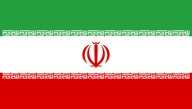
Iran
World Rank: #18
1,648,195 km²

Next Larger Country
(Rank #17)
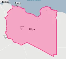
Libya
1,759,540 km²
Next Smaller Country
(Rank #19)
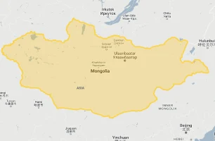
Mongolia
1,564,110 km²
Iran at a Glance
Iran: Middle Eastern Powerhouse Larger Than Expected
Iran ranks as the 18th largest country in the world with a territory of 1,648,195 square kilometers (636,372 square miles). Located in Western Asia, Iran is the largest country in the Middle East and one of the largest in Asia, sharing borders with Turkey, Iraq, Afghanistan, Pakistan, Armenia, Azerbaijan, and Turkmenistan, while also having extensive coastlines along the Persian Gulf, Gulf of Oman, and Caspian Sea.
What makes Iran geographically remarkable is its substantial size, which often surprises people unfamiliar with Middle Eastern geography. Iran is larger than Alaska, France, Germany, the United Kingdom, and Italy combined. The country could fit Texas, California, and Montana together within its borders, yet many people underestimate Iran’s true dimensions.
Located between approximately 25° and 40° North latitude, Iran experiences minimal distortion on standard Mercator projection maps. What you see on most world maps is a reasonably accurate representation of Iran’s true size relative to other countries, though its complex topography includes dramatic elevation changes that aren’t immediately apparent.
Iran experiences minimal distortion on maps due to its moderate latitude
🌍 Global Ranking
Iran is the 18th largest country in the world, larger than 177 other nations.
🗺️ Regional Dominance
Iran covers 21% of the entire Middle East and is larger than all Arab countries except Saudi Arabia.
📊 Population Density
Despite its vast size, Iran has a moderate density of 52 people per km².
Iran’s True Size in Global Perspective
To better understand Iran’s dimensions, direct comparisons with familiar regions provide valuable context:

Iran vs. US States: Iran is larger than Alaska and could fit Texas, California, and Montana combined
Middle East Countries by Size
5 Surprising Iran Size Comparisons


Iran’s Geographic Diversity
Mountain Ranges
Zagros and Alborz Mountains, including Mount Damavand at 5,610m – the highest peak in the Middle East
Desert Landscapes
Dasht-e Kavir and Dasht-e Lut deserts covering central and eastern regions with extreme temperatures
Fertile Plains
Khuzestan Plain and Caspian coastal regions supporting Iran’s most productive agriculture
Extensive Coastlines
2,440 km of coastline along Persian Gulf, Gulf of Oman, and Caspian Sea
Iran’s Largest Provinces
🌡️ Climate Extremes
🗺️ Strategic Position
Iran’s Natural Resource Reserves (Global Rankings)
Population Distribution Across Iran
⚠️ Geographic Challenges
Explore More Size Comparisons
- The True Size of Saudi Arabia: Desert Kingdom Larger Than Western Europe
- The Real Size of Turkey: Eurasian Bridge Nation
- The Real Size of Egypt: Northeast African Giant
- Complete List of Countries by True Size
Sources & Further Reading
- CIA World Factbook. (2023). Iran.