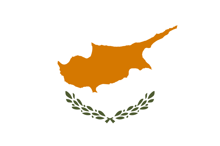
Cyprus
World Rank: #162
9,251 km²

Next Larger Country
(Rank #161)
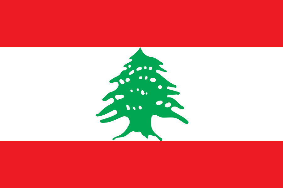
Lebanon
10,452 km²
Next Smaller Country
(Rank #163)
Puerto Rico
8,870 km²
Cyprus: Mediterranean Island at the Crossroads of Three Continents
Cyprus ranks as the 162nd largest country in the world with a territory of 9,251 square kilometers (3,572 square miles). Located in the eastern Mediterranean Sea, Cyprus sits at the crossroads of Europe, Asia, and Africa, occupying a strategic position that has shaped its history and geopolitical significance for millennia.
What makes Cyprus geographically remarkable is its compact diversity and complex political geography. This island nation packs impressive topographical variety into an area roughly the size of Delaware or half the size of Wales.
Located between latitudes 34° and 36° North, Cyprus experiences minimal distortion on standard Mercator projection maps. The common perception of Cyprus’s size is generally accurate, with its position in the eastern Mediterranean making it appear proportionally correct on most maps.
Here is a video made with our interactive map that adjusts for Mercator projection distortion (you get an idea of how big Cyprus really is):
Watch Cyprus shrink to its actual size as we move it toward the equator. We compare it to the USA, Europe, Africa, Greenland, Brazil, Australia, Russia, India, China, etc. You can use this country size comparison interactive map here.
Cyprus’s True Size in Global Perspective
To better understand Cyprus’s dimensions, direct comparisons with other regions provide valuable context:

Cyprus vs. US States: Cyprus is similar in size to Delaware and about 1/45 the size of California
| Comparison | Flag | Area (km²) | Size Relative to Cyprus |
|---|---|---|---|
| Cyprus (entire island) | |
9,251 | 1.0 |
| Republic of Cyprus (Greek Cypriot side) | |
5,896 | 0.64 times Cyprus’s size |
| Northern Cyprus (Turkish Cypriot side) |  |
3,355 | 0.36 times Cyprus’s size |
| Turkey |  |
783,562 | 84.7 times Cyprus’s size |
| Greece |  |
131,957 | 14.3 times Cyprus’s size |
| Crete (Greek island) | |
8,336 | 0.90 times Cyprus’s size |
| Delaware (US state) |  |
6,446 | 0.70 times Cyprus’s size |
| Sicily (Italian island) |  |
25,711 | 2.78 times Cyprus’s size |
| Lebanon | |
10,452 | 1.13 times Cyprus’s size |
| Rhode Island (US state) |  |
4,001 | 0.43 times Cyprus’s size |
5 Surprising Cyprus Size Comparisons
- Cyprus vs. Northern Cyprus: The internationally recognized Republic of Cyprus controls approximately 64% of the island, while Northern Cyprus (recognized only by Turkey) occupies about 36% of the total area.

- Cyprus vs. Turkey: Turkey is approximately 84.7 times larger than Cyprus – you could fit Cyprus into Turkey nearly 85 times.

- Cyprus vs. Israel:

- Cyprus vs. Sicily: Sicily, the largest Mediterranean island, is about 2.8 times larger than Cyprus.

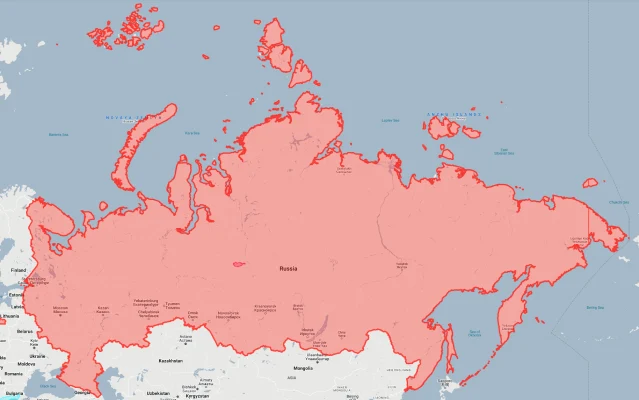
- Cyprus vs. Russia: Russia is approximately 1,840 times larger than Cyprus – the world’s largest country could fit Cyprus more than 1,800 times within its borders.
Cyprus’s Geographic Diversity: Mountains, Plains, and Coasts
Despite its small size, Cyprus contains remarkable geographic diversity:
- Troodos Mountains: The island’s central mountain range features Mount Olympus, reaching 1,952 meters (6,404 feet)
- Kyrenia Mountains: The narrow mountain range that runs along the northern coast, reaching heights of 1,024 meters (3,360 feet)
- Mesaoria Plain: The central lowland between the two mountain ranges, containing the capital Nicosia and most of the island’s agricultural land
- Coastline: Cyprus has 648 kilometers (403 miles) of coastline featuring sandy beaches, rocky coves, and dramatic cliffs
- Akamas Peninsula: The island’s most pristine area, a largely untouched wilderness of gorges, forests, and beaches
Political Geography: A Divided Island
Cyprus’s most distinctive geographical feature is its political division:
- The island has been divided since 1974 following a Turkish military intervention in response to a Greek-backed coup
- The Republic of Cyprus, internationally recognized and an EU member state, controls approximately 5,896 km² (64% of the island)
- Northern Cyprus, recognized only by Turkey, occupies approximately 3,355 km² (36% of the island)
- A UN Buffer Zone (the “Green Line”) separates the two territories, covering about 346 km² and stretching 180 kilometers across the island
- Additionally, the UK maintains two Sovereign Base Areas (Akrotiri and Dhekelia) covering 254 km² (3% of the island’s area)
Coastline: A Mediterranean Paradise
Cyprus’s coastline is one of its most valuable geographical assets:
- The island has 648 kilometers (403 miles) of coastline along the Mediterranean Sea
- The southern coast features popular tourist destinations like Limassol, Larnaca, Ayia Napa, and Paphos
- The northern coast, dominated by the Kyrenia Mountains, is less developed with picturesque harbors and beaches
- Cape Greco in the southeast forms a protected national park with sea caves and dramatic cliffs
- Cyprus has 65 Blue Flag beaches, one of the highest numbers per coastline length in the world
Population Distribution: Urban Concentration
Cyprus’s population pattern reflects both its topography and its political division:
- With approximately 1.2 million people (excluding Northern Cyprus), the Republic of Cyprus has an average population density of about 130 people per square kilometer
- Nicosia, the capital, is the world’s last divided capital city, with about 330,000 people in its metropolitan area (across both sides)
- Population is concentrated in the five main coastal cities (Limassol, Larnaca, Paphos, Kyrenia, and Famagusta) and the capital Nicosia
- The Troodos Mountains are sparsely populated, with numerous small villages
- Northern Cyprus has approximately 330,000 residents, with significant demographic changes since 1974 due to Turkish settlement
Cyprus’s Administrative Divisions: Regions and Districts
Cyprus’s administrative organization divides the island into districts:
| District | Area (km²) | Control | Comparable Area |
|---|---|---|---|
| Nicosia District | 2,710 | Divided | Luxembourg (2,586 km²) |
| Limassol District | 1,393 | Republic of Cyprus | Sao Tome and Principe (964 km²) |
| Famagusta District | 1,979 | Mostly Northern Cyprus | Mauritius (2,040 km²) |
| Larnaca District | 1,126 | Mostly Republic of Cyprus | Hong Kong (1,104 km²) |
| Paphos District | 1,396 | Republic of Cyprus | Samoa (2,842 km²) |
Climate and Geography: Classic Mediterranean
Cyprus’s location in the eastern Mediterranean creates a distinctive climate:
- The island has a typical Mediterranean climate with hot, dry summers and mild, rainy winters
- Cyprus experiences approximately 340 days of sunshine annually, making it one of Europe’s sunniest locations
- Summer temperatures regularly exceed 30°C (86°F) in the lowlands, while winter brings snow to the Troodos Mountains
- Average annual precipitation varies from 300mm in the eastern plains to over 1,000mm in the Troodos Mountains
- The island is vulnerable to drought, with climate change intensifying water scarcity issues
Strategic Position: Eastern Mediterranean Crossroads
Cyprus’s location has given it outsized geopolitical significance throughout history:
- Located just 75 kilometers (47 miles) from Turkey, 100 kilometers (62 miles) from Syria, and 380 kilometers (236 miles) from Egypt
- Positioned at the maritime crossroads between Europe, Asia, and Africa
- The island has been ruled by virtually every major Mediterranean power throughout history, including Assyrians, Egyptians, Persians, Romans, Byzantines, Crusaders, Venetians, Ottomans, and British
- Today, the UK maintains sovereign military bases on the island (Akrotiri and Dhekelia), covering 254 km²
- Recent natural gas discoveries in Cyprus’s Exclusive Economic Zone have enhanced its strategic significance in regional geopolitics
Natural Resources: Limited But Strategic
Cyprus’s natural resource profile reflects its geology and location:
- Copper: The island’s name derives from the ancient Greek word for copper (kypros), which was extensively mined in antiquity
- Natural gas: Significant offshore deposits have been discovered in Cyprus’s Exclusive Economic Zone
- Gypsum, marble, and clay are the main mineral resources currently extracted
- Agricultural land covers about 13.4% of the territory, with citrus fruits, olives, grapes, and potatoes as key crops
- Water resources are limited and under pressure, with the island relying increasingly on desalination plants
Environmental Challenges: Water Scarcity and Development Pressure
Cyprus’s small size and Mediterranean location create specific environmental considerations:
- Water scarcity is the island’s most pressing environmental challenge, exacerbated by climate change and tourism demand
- Coastal development for tourism has placed pressure on sensitive ecosystems, especially in the southeast
- Deforestation has historically reduced Cyprus’s forest cover, though conservation efforts have increased protected areas
- Soil erosion affects agricultural lands, particularly in areas with steep terrain
- Akamas Peninsula, one of the Mediterranean’s last unspoiled coastal areas, faces ongoing development pressures despite partial protection
Explore More Size Comparisons
Curious about how other Mediterranean countries and islands compare in true size? Check out these related articles:
Sources & Further Reading
- Department of Lands and Surveys, Republic of Cyprus. (2023). Spatial Information.
- CIA World Factbook. (2024). Cyprus.